Longitude and time
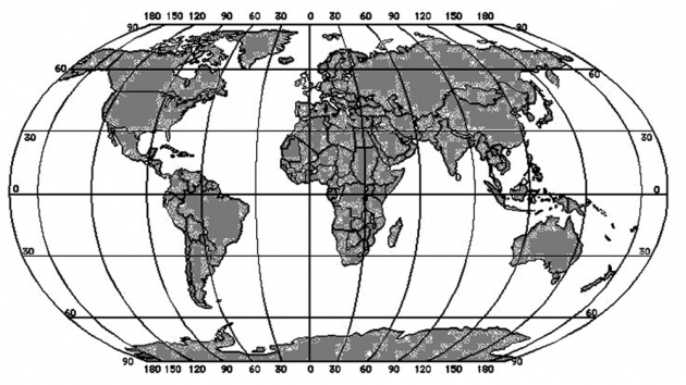
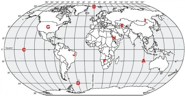
Longitudes and Latitude are imaginary lines drawn across the globe in order to help one study the maps. Longitudes spread from north to south. Places lying on the same longitude usually have the same time, so it is possible to calculate the time of a place if we now its longitude. Internationally, time is often counted from the Greenwich Observatory, which is accepted as 00 longitudes in 1885. Hence, the official time in Pakistan is GMT +5, which means 5 hours ahead of the official time at Greenwich, or Greenwich Mean Time (GMT) plus 5 hours. This is because time difference between each longitude is about 4 minutes.

An irregular imaginary line, known as the International Date Line, passes near 1800. Places to the east of this line are one day ahead of those in the west. Each time a traveler crosses this line, she or he has to change the date in her or his watch.


