Pakistan and its boundries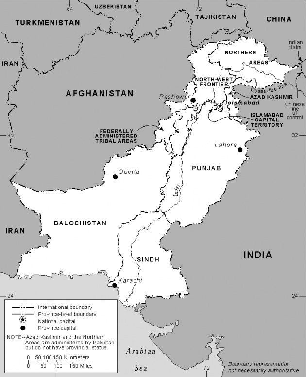
Pakistan is an asian country . it came into being on 14 august 1947. It is located on the northern western part of asia.
It is located between 24 degree to 37 degree north latitude and 61 degree to 76 degree east latitudes.6681_fa_rszd.jpg)
Pakistan has an area of 7,96096 square kilometers.
Its has four provinces.
Baluchistan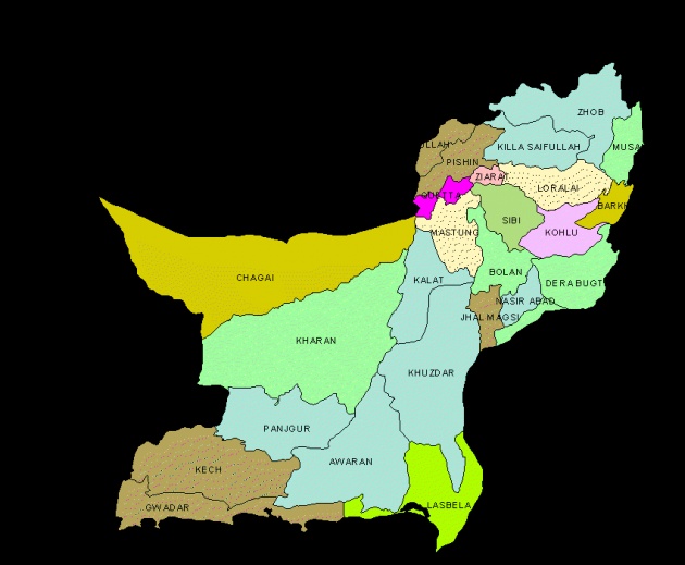
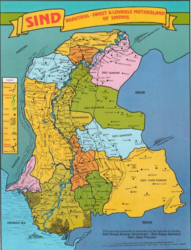
Sindh
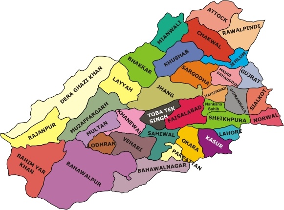
Punjab
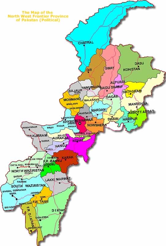
K.p.k
The area of provinces of pakistan is
Baluchistan :347190 square km
Sindh:140914 square km
Punjab:205344 square km
K.p.k:74521 square km
Pakistan.
North west:
In the north west of pakistan lies afghanistan . Pak-Afghan border is known as Durand line(1893). Its length is 2250km.
In the north a narrow strip of Wakhan of Afghanistan seprate Pakistan from Tajikistan.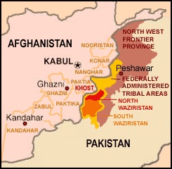
West
In the west of Pakistan, lies Iran. The length of Pak-Iran border is 832 km. Iran is a Muslim neighbour of Pakistan. Their relations are good from the time of independence.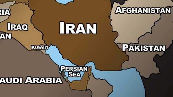
South
In the south of Pakistan lies an Arabian sea. Its length of Pakistani shore is 805 km.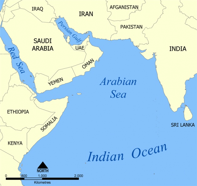
East
To the east of Pakistan lies India. Pakistan has the common border with territory of India ( east Punjab and Rajasthan ) of 1700 km._fa_rszd.jpg)
North east
In the north east of pakistan, there lies china. Ite pak-china border is about 585km_fa_rszd.jpg)
North
In the north of Pakistan , the mountain ranges of Karakoram is situated . which link the china border with Pakistan border.